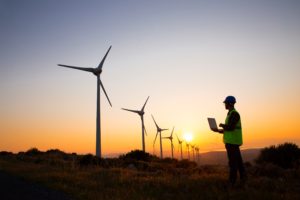
ENVIA offers B2B services of geological and environmental consultancy, civil and geotechnical engineering, subsoil surveys and topographic surveys. Our main clients operate in the sectors of multiutility industry, telecommunications, environmental management, energy production, construction of industrial plants and railway and airport infrastructures.
Our proposal is constantly updated with regard to regulatory and technical aspects and maximizes the attention to the internal processes of our customers to define needs in a collaborative way and to always arrive at shared solutions.
We follow carefully the evolution and digital transformation of the companies and promote an approach to both the consultancy and the designing centred on all the most modern IT applications.

Consulting
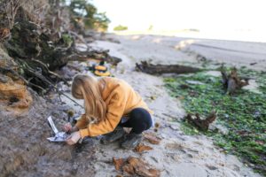
GEOLOGICAL CONSULTING A careful study of the geological characters is of great value in the design and execution of new infrastructures and new plants. The ENVIA team of geologists accompanies the client from the feasibility to the realization of his projects, overseeing all aspects inherent to the territory and subsoil. Services Bibliographic study on the … Continued

Engineering
GEOTECHNICAL ENGINEERING The ENVIA geotechnical engineering group offers its customers complete support in the design of the geotechnical works and systems in compliance with national regulations and with consolidated experience in the use of the main international standards including: Eurocodes, ASTM/AASHTO, AS/NZS, SANS, IS. Services Design of consolidation of landslides Design of retaining works Design … Continued

Surveys
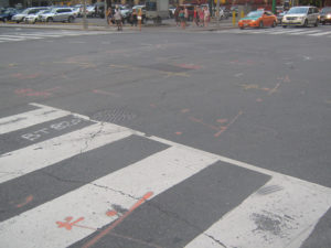
GEOPHYSICAL INVESTIGATIONS Seismics Seismic Down-Hole and Cross-Hole tests Ground penetrating radar Electromagnetic surveys Geoelectrics Thermic resistivity measurements Applications: reconstruction of the stratigraphic pattern, seismic characterization, identification of cavities, definition of landslide, identification of buried anthropic structures, identification of different foundation structures, research of underground tanks, identification of buried metal objects, underground utility mapping, groundwater assessment, … Continued
